Deforestation in Karbala, Iraq
Iraq is one of the most deforested countries in the world. In this project, I used satellite imagery to map the extent of deforestation in Iraq and analyze the drivers of deforestation.
The first analysis was just looking at the natural color of the landscape and detecting losses. You can see some clear losses in the center of the city.
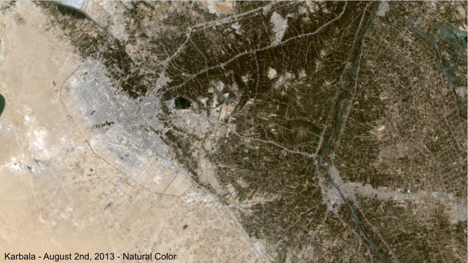
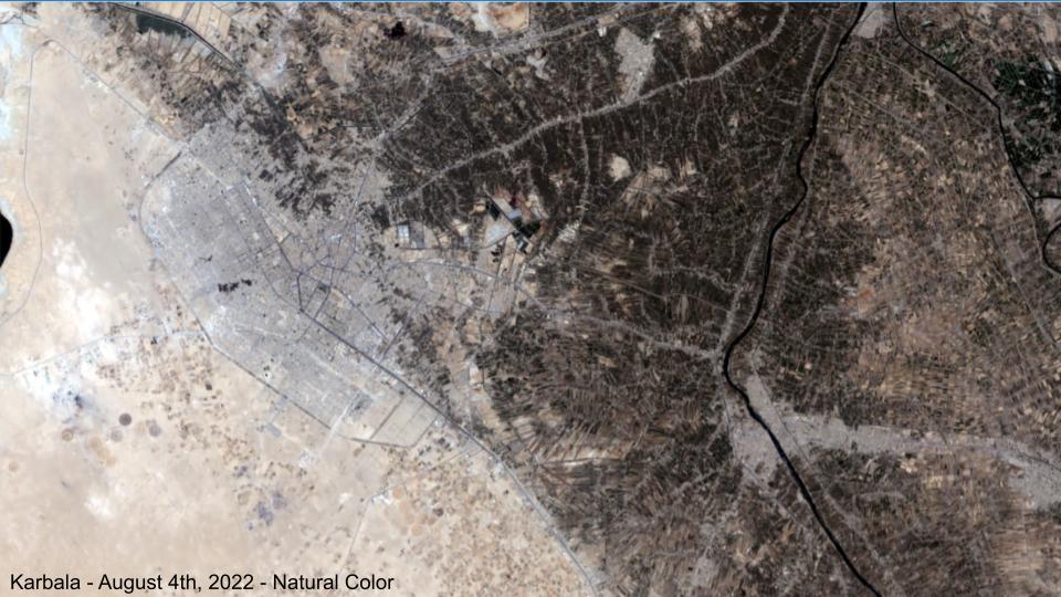
Next, I used the NDVI (normalized difference vegetation index) to detect deforestation. You can see the clear loss in the center of the city but also in the eastern half.
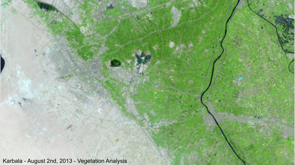
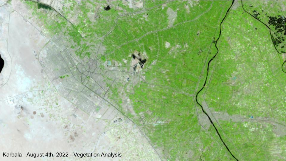
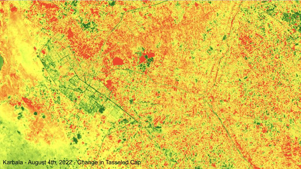
Finally, I used the a tasseled cap transformation to detect deforestation. This method looks at just the brightness, greenness, and wetness of the landscape. Here you can see clear effects of desertification across the cityscape.
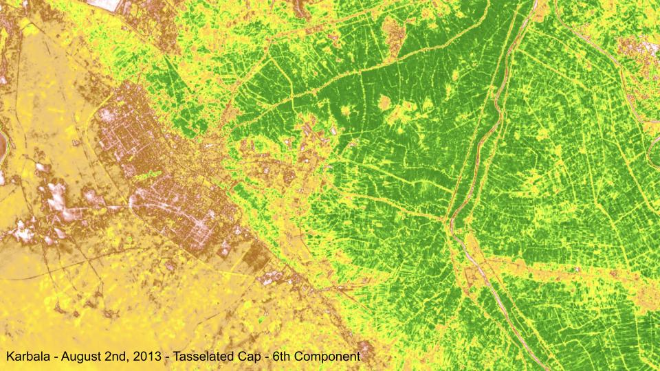
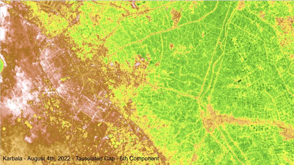
Overall, over half of all area in Karbala region expressed a decline in the Tasseled Cap component value correlated with palm tree forests between 2013 and 2020. That equates to nearly 2,000 square kilometers experiencing deforestation in Karbala alone. The results of this project were shared with UN WASH to help them understand the extent of deforestation in Iraq and to inform their work on the ground.
Further Reading: