ERA5 Superresolution
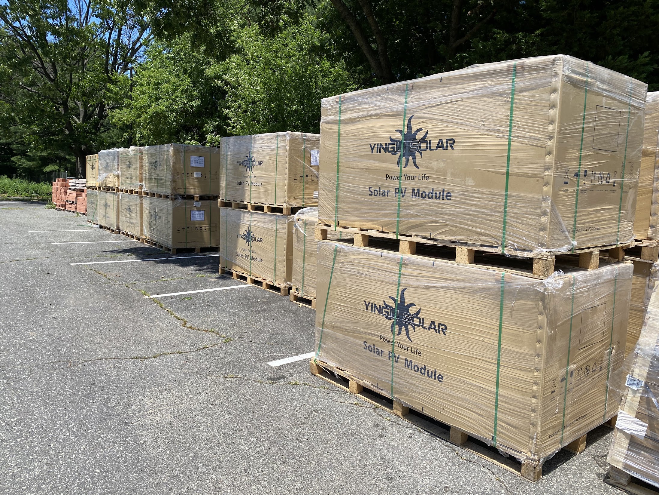
Lots and lots of Yingli solar panels for a site I was overseeing the installation for in New Jersey
A common challenege for solar developers is estimating the amount of production that a site will yield. This is critical for investment planning and project development to see if the site is operating at its full potential. One way to estimate production is to use satellite imagery to estimate the amount of solar irradiance that a site receives. The most widely used dataset for this is the ERA5 reanalysis dataset from the European Center for Medium-Range Weather Forecasts (ECMWF). However, this dataset is not without its flaws. It strongly underestimates the amount of solar irradiance that a site receives, especially in higher latitudes.
Over Fall of 2022, I got permission to use data from our solar sites to train a model to provide hyper-local solar irradiance predictions. I tested 4 different methods:
- Artificial Neural Network with Mean Squared Error Loss Function
- Artificial Neural Network with Quantile Loss Function
- Long Short-Term Memory Model with Mean Squared Error Loss Function
- Long Short-Term Memory Model with Quantile Loss Function
The LSTM ANN with Quantile Loss model demonstrated the greatest reduction in the root mean square error and highest correlation with the onsite pyranometer data. In aggregate, a 2.5% improvement in the accuracy of GHI measurements can equate to a difference of hundreds of thousands of kilowatt hours over the course of a year. You can see the full research paper below for more details.
Further Reading: